 Hiking
 Login
Login More
More EN
EN Premium
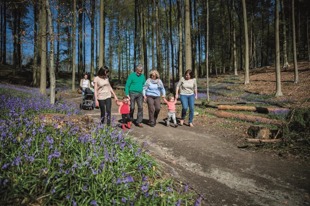
Explore Toerisme Vlaams-Brabant’s new virtual hiking network in Zennevallei, south of Brussels. Plan your route using our app or route planner, and enjoy beautiful trails with virtual nodes!
Toerisme Vlaams-Brabant has been embracing virtual hiking networks for several years now. In addition to their excellent range of signposted hiking networks, they have also developed a virtual hiking network spanning over 2,000 km, which is widely used in our app. Recently, they added a new virtual hiking network in the Zennevallei, south of Brussels, covering Halle, Beersel, Drogenbos, Linkebeek, and Sint-Genesius-Rode.
Planning a Hike in Zennevallei
There are several ways to explore the new virtual hiking network south of Brussels.
Plan your own route
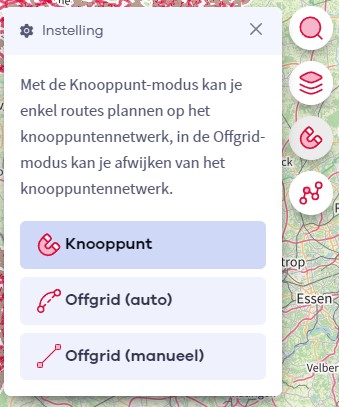
You can create your own route along the virtual nodes in Zennevallei using our route planner or our app. Determine the distance and the path you want to take.
Choose a suggested route
Toerisme Vlaams-Brabant offers a number of suggested routes on the Zennevallei hiking network. Here’s an overview:
- Lambiekstoemperswandeling: 8.8 km, starting in Halle
- Sequoiawandeling: 5.3 km, starting in Halle
- Reebokwandeling: 8.2 km, starting in Halle
- Hof ten Houtwandeling: 9.2 km, starting in Sint-Genesius-Rode
- Wijnbronbeekwandeling: 5.6 km, starting in Linkebeek
What is a virtual hiking network?
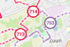
At NodeMapp.com, we have been offering so-called virtual hiking networks for quite some time. A virtual hiking network consists of nodes and trails that are not signposted. You won’t see any poles or signposts on the ground, but the nodes are there! They are only visible through our online route planner or our NodeMapp Hike app. This is the ideal way to connect the most beautiful hiking routes with nodes in areas where, for example, budgetary reasons make it difficult to install physical signposts. On our maps, you can distinguish virtual hiking networks (purple) from signposted hiking networks (red) based on their color:
Our app will happily guide you along these virtual hiking nodes!

 Upgrade to Premium Plus